Air
Explore the potential to elevate how and where you work
Innovative Solutions
Using our fleet of professional unmanned aerial vehicles, sensors, processing software and in-house CAA-approved pilots, Geo-4D is able to provide a variety of advanced remote sensing services. Data collection is rapid and safe, collecting up to 150 hectares of high-resolution data in 1 hr.
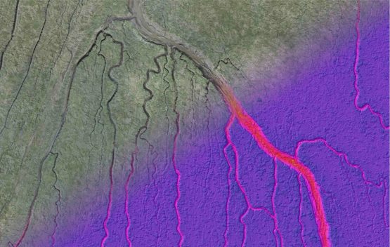
Aerial Imagery & Terrain Modelling
Using a combination of photogrammetry and LiDAR on a variety of drones, Geo-4D are able to rapidly survey large areas to derive ultra-high resolution terrain models and aerial imagery.
- Topographical survey
- Structural inspection
- Volume analysis
- Progress monitoring
Magnetometry
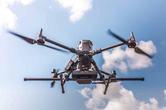
Using our DJI M300, Magdrone R3 and radar altimeter, Geo-4D can rapidly acquire resolute and accurate magnetometry data. Drone-based magnetometry allows for rapid data collection in difficult to access terrains such as marshes and intertidal areas.
- Unexploded ordnance identification
- Utilities mapping
- Archaeological mapping
- Geological mapping
Bathymetry
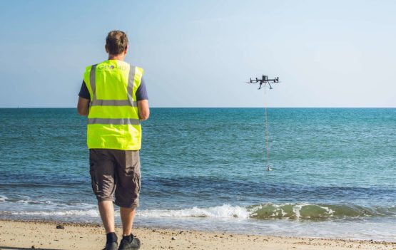
Our drone-suspended single beam echosounder allows us to collect accurate water depth (bathymetry) data in water depths as shallow as 0.1m. Data is acquired using pre-programmed tracks at a line spacing of choice.
- Submarine cable landfalls
- Lakes and rivers
- To inform magnetometer detectability
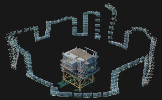
3D Modelling
Using photogrammetry techniques, high-resolution ‘digital twins’ can be produced quickly and safely, from which detailed drawings and 3D renders can be derived. Repeat surveys can allow for monitoring of changes, degradation of structures etc.
- 3D plans
- Building inspection
- Visualisation of inaccessible sites
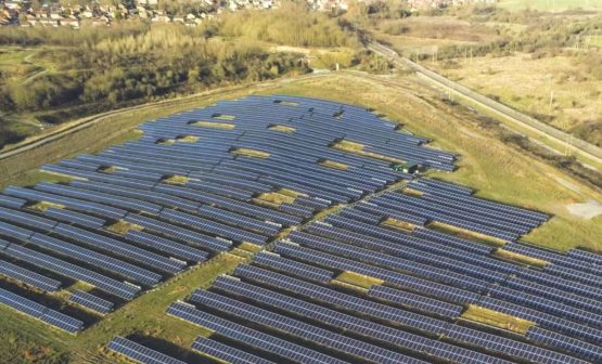
Thermal Mapping
Using our high-resolution radiometric thermal camera we can remotely assess the thermal properties of structures and environments to identify defects and heating inefficiencies.
- PV solar panel defect mapping
- Building inspection
- Roof inspection
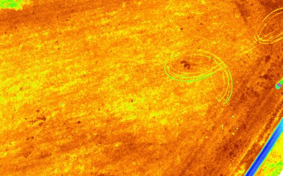
Multispectral Mapping
Our Micasense RedEdge multispectral camera simultaneously collects imagery data over 5 distinct spectrums including short-wave infrared and red-edge, allowing for detailed assessment of physical properties not visible to the eye.
- Agriculture and crop health
- Forestry and tree disease
- Identification of invasive species and weeds
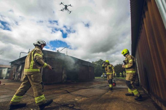
Airborne Pollutant Mapping
Geo-4D operate a Sniffer-4D multisensor airborne pollution mapping system, capable of simultaneously detecting numerous airborne pollutants and relaying the data in real-time to a ground station.
- CH4, SO2, H2S, CO, VOCs, O3, NO2, particulates etc.
- Landfill monitoring
- Emissions monitoring
- Leak detection
- Research projects
Request a call back with us, and we will do the rest
Interested in what we do? Need more information.
