Sea
Leveraging the most from your offshore data
Sea Solutions
Geo-4D have years of experience in offshore survey, data processing, interpretation and ground modelling. Using an integrated multidisciplinary approach to data analysis and interpretation, we can derive the most from your data to best characterise the site, identify data gaps and plan further investigations.
MBES, SBP, UHR seismic and SSS processing and interpretation
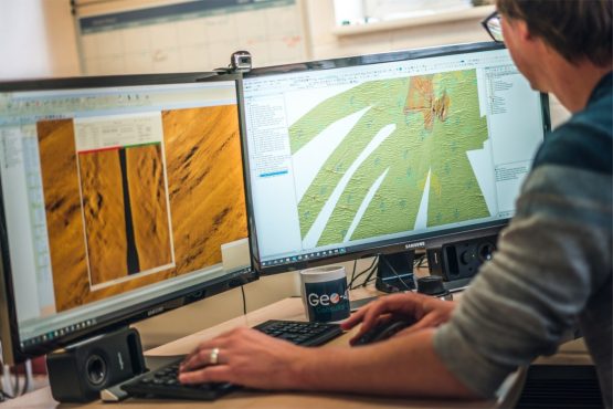
Geo-4D’s experienced geologists, geotechnical engineers and geophysicists use a variety of industry-leading software packages to analyse a variety of offshore data.
- SSS processing and interpretation
- GIS database collation
- Seismic data interpretation
- Geotechnical data assessment
- Seabed feature/sediment mapping
- Alignment charting
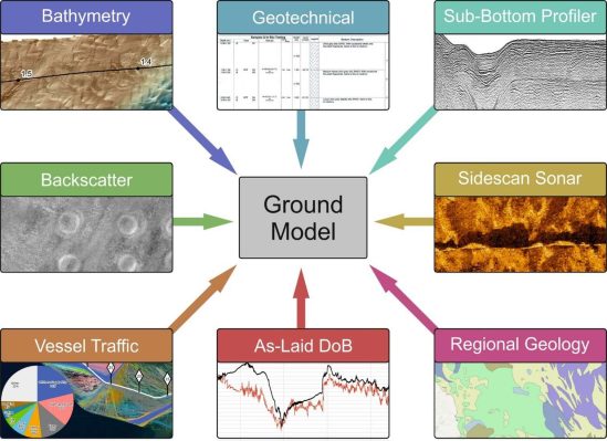
Desk Studies and Ground Modelling
Geo-4D’s multidisciplinary geoscience experience and extensive project knowledge from 15+ offshore wind farms, 25+ subsea cables and various international oil and gas developments, puts us in a strong position to develop cost-effective desk studies and ground models.
- Predictive geotechnical models
- Geohazard models
- Anchor strike risk assessment
- Seismostratigraphic models

Offshore Survey Management
Geo-4D have extensive offshore project management experience and no affiliations with survey contractors and therefore are well placed to provide unbiased recommendations and survey management services.
Request a call back with us, and we will do the rest
Interested in what we do? Need more information.
Geoconsulting, remote sensing
and survey experts
Links
Receive a call back.

Get in touch with us
Navigation
Useful Information